I LUOGHI DEL CAMMINO: Prosecco Hills of Conegliano and Valdobbiadene

The tourist signage of REV-Veneto Hiking Network is characterized in this landscape by its red color and the code “T1”, indicating the first trekking itinerary of the Veneto Region: “T1 – Path of the Prosecco Hills of Conegliano and Valdobbiadene“. This is a one-way pedestrian itinerary, starting from the Town Hall of Vidor, leading to the historic locality of Serravalle in Vittorio Veneto, after approximately 56 km immersed in nature. Along the Path, there are 3 entry/exit gates, allowing interaction with the surrounding territories and places.
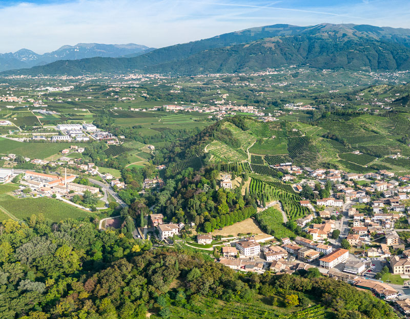
“I LUOGHI DEL CAMMINO : Prosecco Hills of Conegliano and Valdobbiadene” is a project in public spaces, consisting of both tangible and intangible works, connecting 17 Municipal Administrations and the Local Action Group Alta Marca through the coordination of the Province of Treviso, as the implementing entity benefiting from co-financing under the European Agricultural Fund for Rural Development, RDP 2014-2020. Partners of the initiative include the Association for the Heritage of the Prosecco Hills of Conegliano and Valdobbiadene, FAI Fondo Ambiente Italiano – Treviso Delegation, the Regional Observatory for the Landscape of the Alta Marca Hills, and the Prosecco and Conegliano Valdobbiadene Hills Wines Road (successor to the White Wine Road, inaugurated in 1966, and the first Italian wine route).
The project was conceived by RPR STUDIO – Arch. Roberto Pescarollo, who coordinated the design of both the tangible and intangible works, defining the cultural concept “I LUOGHI DEL CAMMINO: Prosecco Hills of Conegliano and Valdobbiadene“.
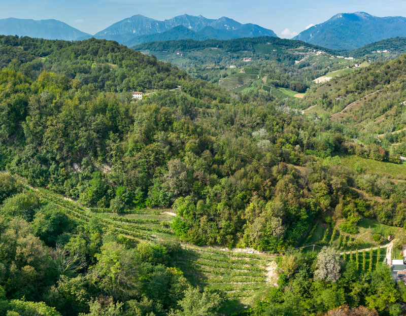

Twenty-eight info-selfie-points have been created – small equipped rest areas – where citizens and tourists can gather territorial information through infographics, thematic QRCODES, multilingual texts, and take emblematic landscape photographs that change with the seasons. These are 28 public places, chosen for their high historical, scenic, and testimonial value protected by the Venice Superintendency, from which to admire the “Prosecco Hills of Conegliano and Valdobbiadene” area, listed as a World Heritage Site as a cultural landscape.
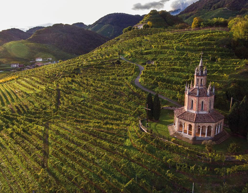
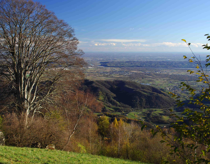
Finally, the project concept has defined a website – also linked to the Veneto Region’s tourist portal – named “I LUOGHI DEL CAMMINO: Prosecco Hills of Conegliano and Valdobbiadene” where, in the TERRITORY GUIDE section, there is an innovative VIRTUAL TOUR made with aerial images, freely reproducible, even in postcard format, spreading the knowledge and geography of these iconic places – as a cultural landscape – worldwide.


